
As a supplement to any website or publication, maps and diagrams are useful in storytelling – and I love making them! I’m happy to support with basic map and diagram creation as well as more interactive maps and hosting.
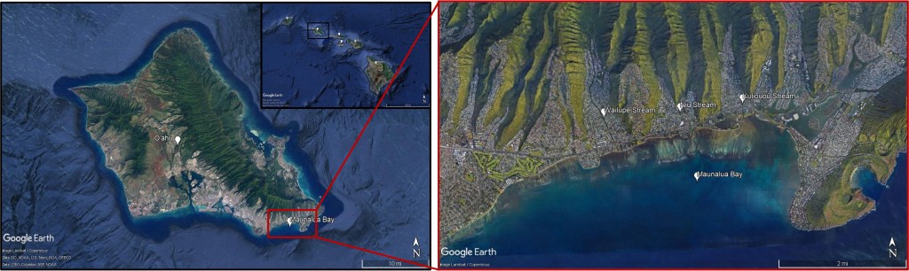
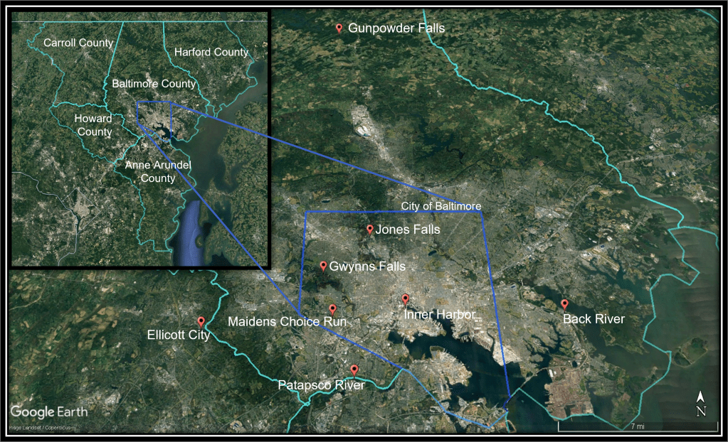
Static maps
This option provides:
- basic map or graphic created using Google maps, Google Earth, or ArcGIS Online
- images delivered as JPG and PNG
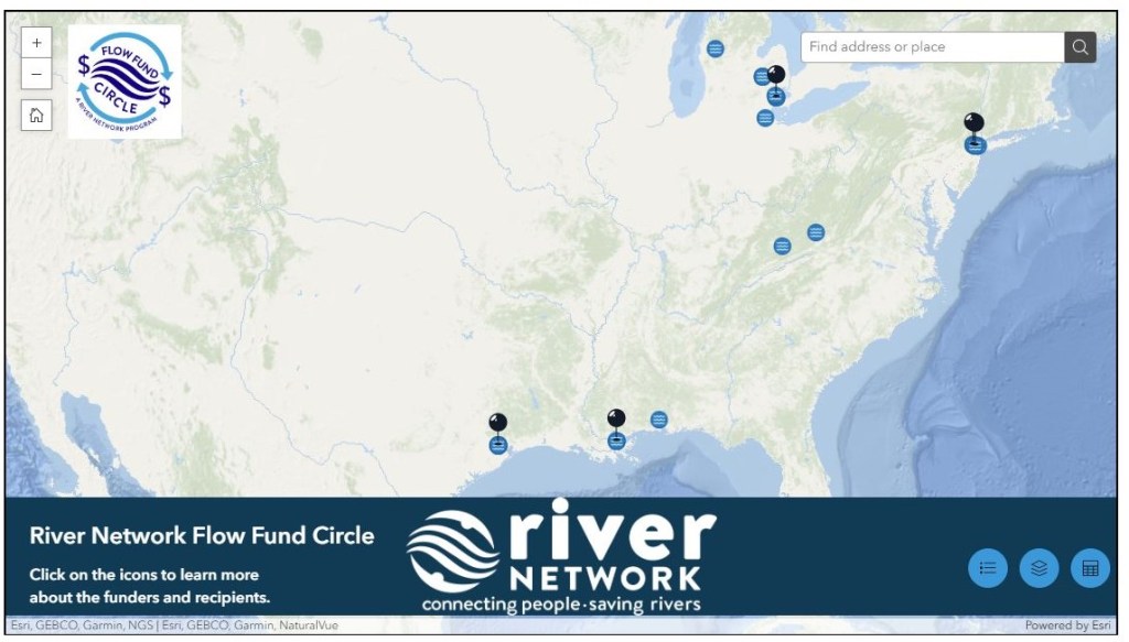
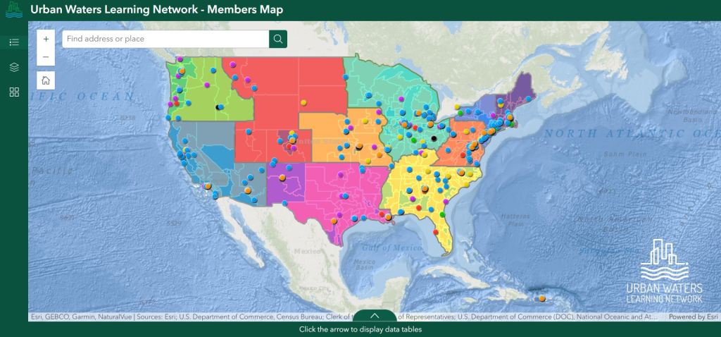
Interactive Maps
This options provides:
- data preparation for Google Maps, Earth, or ArcGIS Online
- file creation
- website application design
“Renée approaches all her work with a human-centered asset frame and has both the creative and scientific skills to tell a wide variety of stories in compelling ways.
She is a joy to work with.”
Amy Boal, Previous Vice President of Brand & Communications, River Network
